Image Source: La Citta Vita. Source License: CC BY-SA 2.0. Adaptations: cropped.
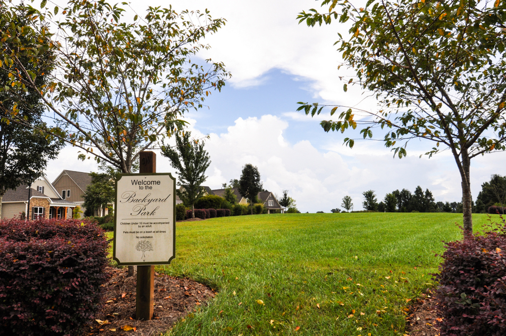
Conservation development, (also called conservation subdivisions, cluster subdivisions, flexible developments, or open space subdivisions) are residential subdivisions that protect natural landscape features (e.g., viewsheds, farmland, natural habitats) by clustering housing lots in a section or sections of the site while preserving large amounts of open or forested space in the remaining portions of the site. This approach helps maintain the character of rural communities and typically preserves between 50% and 70% of buildable land for open space.
Why is this important to your community?
Only 7% of land within the CONNECT region is permanently preserved as open space, and decentralized growth patterns in communities throughout the region potentially threaten wildlife habitats, scenic vistas, watershed protection areas, and working farms. As our region continues to grow, with more than 1.8 million new residents and 860,000 new jobs projected by 2050, we need to consider development patterns that consume less land and use resources more efficiently. Conservation development is one tool communities can use to protect the natural environment, preserve key resources, enable outdoor recreation, and encourage compact, walkable neighborhoods while providing housing with a rural feel to their residents.
Skip directly to
How Does It Work?
Resources
Using the Tool
Partners
Where Has It Worked?
7
of land in the region is permanently preserved as open space
Where is it appropriate to use?
What priorities does it address?
What other tools are related?
- Voluntary Agriculture Districts
- Tree Canopy Preservation
How does it work?
Unlike traditional residential subdivisions, the process for designing a conservation development starts by identifying open space or natural resources that should be protected and then clustering residential lots and homes in the remaining areas. By concentrating residential development in one or more sections of a site, conservation developments provide a number of environmental, economic, and social benefits while allowing for the preservation of large areas of open space, wildlife habitat, and agriculture. Living near conserved open spaces increases home values, provides scenic vistas, and gives residents greater access to recreational opportunities. Clustering residential lots instead of spreading them out like conventional subdivision developments can reduce development costs, lower future service costs (e.g., water, sewer, electricity, and road maintenance), and encourage walking and interaction with neighbors within the community. Researchers at NC State University estimate that conservation developments contain 31% fewer miles of roads, driveways, and other impervious surfaces resulting in a 31% reduction in runoff and pollutants. Higher home values, lower development costs, lower future service costs, and other benefits result in a greater return on investment.
Counties often pass ordinances to set standards for conservation development. These regulations vary from county to county but typically require at least 50% open space conservation for rural developments and 30% open space conservation for suburban developments. At the local level, policies to support conservation can be integrated into comprehensive plans or subdivision ordinances. To encourage the construction of conservation developments, it is also necessary to have sufficient support from local officials and planning staff, explicit development regulations, and potentially incentives (e.g., tax credits, density bonuses, expedited permitting, public sale of open space, etc.) to encourage the construction of conservation developments.
Resources
- Innovative Land Use Planning Techniques: a Handbook for Sustainable Development
- Conservation Subdivision Ordinances, Georgia Quality Growth Partnership
- The Conservation Subdivision Design Project: Booklet for Developing a Local Bylaw
- Conservation Subdivision Handbook – NC State University
- Encouraging Conservation Subdivisions in Georgia
Ready to get started?
Using the Tool
- Convene a stakeholder group composed of county or municipal officials, real estate professionals/market analysts, developers, architects, land trust representatives, and planners to assess the potential and likely barriers to conservation development. Barriers may include regulatory issues (e.g., no conservation development ordinance), a weak housing market, and hesitation by developers to stray from proven development methods.
- Develop strategies for increasing the number of conservation developments constructed in the area.
- Identify key open spaces (e.g., farmland, key viewsheds, wildlife habitats, watersheds, and other environmentally-valued areas such as forests or concentrations of endangered flora, etc.) that should be preserved within the jurisdiction, through some means. Soil, water, land, and wildlife conservation agencies can assist with this process.
- Consider using a “susceptibility to change” or similar analysis to assess the likelihood of new development near on within open spaces over the next 5-10 years. This can assist your community in prioritizing what areas should be marked for conservation via conservation development or other methods (Agricultural Conservation Easement Program, etc.).
- If the county or municipal zoning body does not have an ordinance permitting conservation developments, draft an ordinance using best practices and sample ordinances from the region and state (NC State University Sample Ordinance or Henderson County, NC Conservation Subdivision Option).
- If the county or municipal zoning body has an existing ordinance permitting conservation developments, review the ordinance and any accompanying development regulations to ensure that regulations do not contain unnecessary barriers and clearly define the process for designing and gaining approvals for conservation developments.
- Explore the possibility of extending incentives to developers. Incentives could include density bonuses, flexible lot sizes, expedited permitting and approval, land protection tax credits, and conservation easements (NC conservation and land trust information).
- Partner with a local land trust, homeowners’ association network, or other community group to determine how to fund management of open spaces within the conservation development. Funding may come solely from private groups or be supported through a public-private partnership, or by the county or municipality.
- Ensure that the larger community understands the environmental, social, and economic benefits of conservation developments. Consider supporting a marketing/education campaign showcasing various housing and development options within the county or region and how each would impact communities (see the Land Use Modeling tool).
Partners
- Architects
- Developers
Where has it worked?
Planning Ordinance - Davidson, NC
About the Program
Davidson, a small town in Mecklenburg County, experienced significant population growth in the mid-1990s stemming from the growth of the Charlotte-Mecklenburg region. To ensure that new development was consistent with the town’s long-term goals, values, and rural character, a land planning committee was formed to review and revise their land use plan. Following a series of public meetings and speaker events featuring conservation subdivision expert and author Randall Arendt, the town adopted a planning ordinance to support conservation developments.
Currently, Davidson has multiple options for conservation development including a conservation easement subdivision, farmhouse cluster, residential subdivision, and conventional neighborhood. All prospective developments are required to conduct an environmental inventory, paid for by the developer, to identify significant natural resources on or adjacent to the site (e.g., wildlife habitats, wetlands, vegetation, etc.) The ordinance requires developers to set aside at least 42% of the site for open space (50% minimum for conservation easement subdivisions), allows flexible lot sizes, requires 12.5% of all new units to meet the town’s affordable housing standards, and provides a density bonus for the construction of publicly accessible trails. In an effort to ensure that conserved land is protected, the ordinance requires a conservation easement that may be held by a local land trust, homeowners’ association, or the Town.
Why it works
Since adopting the ordinance in 2001, the town has approved the construction of more than 15 new conservation developments, including the Woodlands at Davidson. The Woodlands is an 80-acre development with 36 acres (45%) of the site set aside for open space. Developed by John Robbins, it’s the only development in North Carolina certified as a “Wildlife Friendly Development” by the North Carolina Wildlife Federation. Each backyard of the 56 homes within the development is a certified wildlife habitat. In addition to conserving wildlife habitats, the Woodlands also ensured that only native plants were used in landscaping throughout the site. By working with community partners to develop a series of guidelines that promote the town’s values and goals, providing incentives to developers, and creating clear development guidelines, the Town of Davidson has successfully managed rapid population growth while maintaining its rural character.
- Developers
- Tree Canopy Preservation